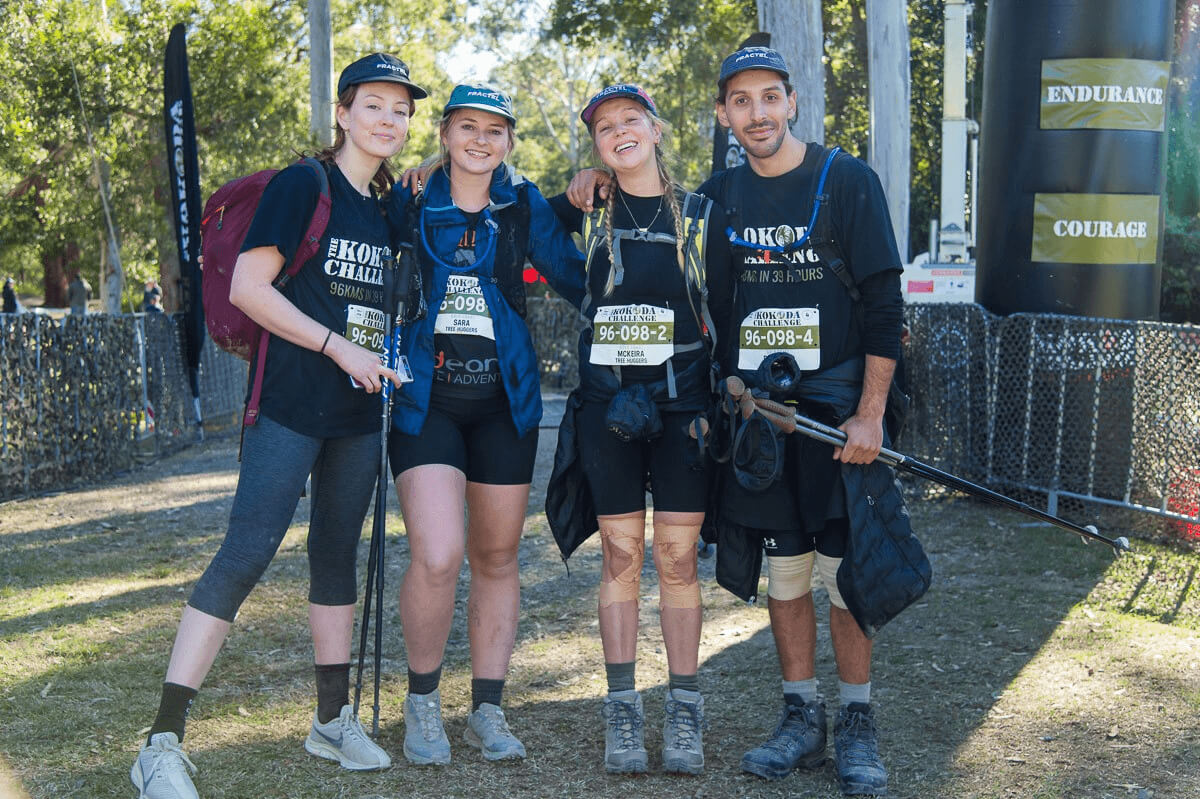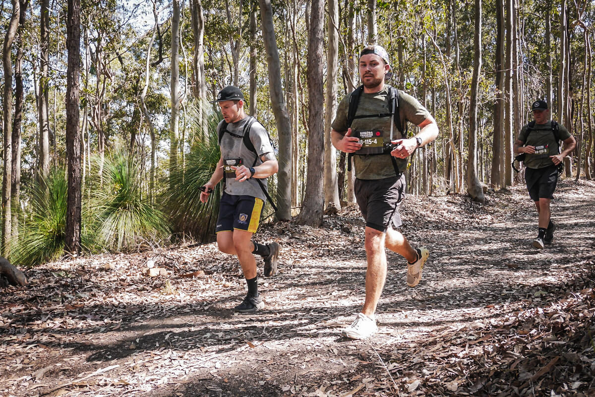
Springbrook National Park provides a stunning natural escape less than an hour from the Gold Coast and only 1.5-2 hours away from Brisbane. While it may be less well known and slightly less popular than neighbouring Tamborine Mountain, you’d be hard pressed to find a Gold Coast or Brisbane local that enjoys hiking that won’t express their preference for Springbrook - and for good reason. While there may be fewer cafes and amenities around, the walks on Springbrook are far superior (in our opinion at least). Plus it’s the location of the epic Gold Coast Kokoda Challenge - so maybe we’re a little biassed…
That being said, if you’re considering visiting Springbrook National Park, let this serve as a strong endorsement! There’s beautiful rainforest, stunning waterfalls, and amazing vistas galore, all within easy reach of SE Queensland’s two biggest metropolitan areas. We can’t recommend it enough!
What to Do in Springbrook
There are six main walking tracks and five lookouts in Springbrook. We look at each walk and lookout in more detail below. You can download the official Springbrook National Park walking track maps and information here.
The Walks - Springbrook Plateau Section
Purling Brook Falls Circuit
Grade: 3
Distance: 4km return
Time: Approximately 2 hours walking time (clockwise direction recommended). If including the Warringa Pool track, which leads downstream from the base of the falls, add an extra 2km and allow an additional 40 minutes for the return.
Access: Access to the walk is just off of Forestry Rd. You will find it if you just type Purlingbrook Falls into your GPS.
Caution: Sections of this track, along with the Warringa Pool track, form part of the Gold Coast Hinterland Great Walk. Arrow markers guide the way. This is a challenging walk—please only attempt if you’re an experienced walker and have the Gold Coast Hinterland Great Walk topographic map (it’s great practice for the Kokoda Challenge though)!
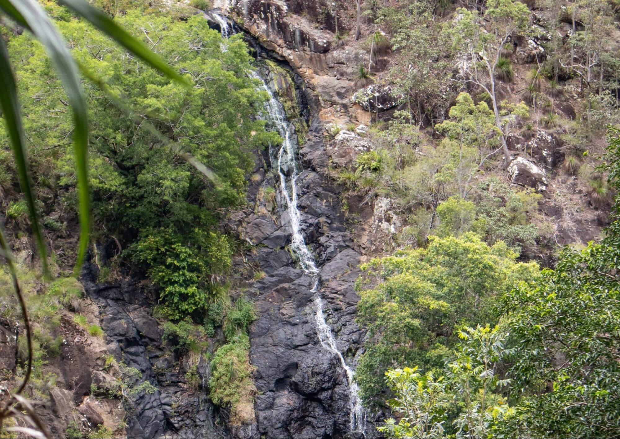
Well, first off, we like this walk so much that we wrote an entire blog of its own dedicated to it. The walk begins in open eucalypt forest, featuring New England ash (Eucalyptus campanulata), alongside fire-adapted flora like lepidozamias, hakeas, and wildflowers. Descend into the gorge for a breathtaking view of the falls from below, then cross a suspension bridge before ascending back through forest to the picnic area. The water cascading over Purling Brook Falls is of the highest quality, thanks to its protected catchment in the Gondwana Rainforests of Australia World Heritage Area. Be mindful to keep this pristine environment clean by practising minimal impact bushwalking.
Note: After heavy rainfall, sections of the Purling Brook walking track may be closed for safety reasons. Access to the western lookout is generally still available. Check Park alerts before your visit.
Warringa Pool Track
Grade: 3
Distance: 6km return
Time: Approximately 3 hours return from Gwongorella picnic area.
Access: Access is via the Purling Brook Falls track, details for which you can read above. Otherwise, we recommend starting from the Gwongorella picnic area, just off of Kuralboo Street, where there are several parking areas. Best to take the track in a clockwise direction to shorten the distance required to reach the pool.
Caution: This track forms part of the Gold Coast Hinterland Great Walk. Arrow markers indicate the way. As it’s a challenging walk, ensure you’re prepared with the Gold Coast Hinterland Great Walk topographic map before attempting.
Details: Branching off from the Purling Brook Falls circuit near the base of the falls, this 1km track continues to Warringa Pool. The path follows Little Nerang Creek, where the creek carves its way through the boulders. Keep in mind that this is part of the Hinze Dam catchment, so it’s essential to practise minimal impact bushwalking. Be cautious, as the rocks may be slippery, even when they appear dry.
Note: After heavy rain, the Warringa Pool track may be closed for safety reasons. Be sure to check Park alerts before your visit.
Twin Falls Circuit
Grade: 3
Distance: 4km loop
Time: Approximately 2 hours return
Access: Start from Tallanbana picnic area or Canyon Lookout (this is also where you access the Warrie Circuit). We recommend following the track in an anti-clockwise direction to fully benefit from the interpretive signs that guide you through different forest types.
Caution: Tracks behind the waterfalls may be slippery, even when they appear dry. Sheer cliffs and waterfalls are present; serious injury or death may result from walking near the edge. Keep to the track and supervise children closely.
Details: This scenic walk takes you behind two waterfalls, through rock clefts, and among palms and tree ferns. Along the way, notice the smooth, pink bark of the brush box trees (Lophostemon confertus) that line the track. Similar brush box trees in other parts of this World Heritage area have been radiocarbon-dated at 1,500 years, making them the oldest ever carbon-dated on Australia's mainland.
Note: Be aware that conditions can change; please check for any park alerts before your visit.
Warrie Circuit
Grade: 4
Distance: 14km return
Time: Approximately 5 to 6 hours return
Access: Start at Canyon Lookout or Tallanbana picnic area (same as the Twin Falls circuit).
Caution: Natural creek crossings may be impassable after heavy rain. Some sections of the circuit may be excessively overgrown; hazards such as fallen trees and rockfalls are likely to be present. Allow enough time to finish the walk in daylight hours and exercise caution when walking.
Danger: Sheer cliffs and waterfalls are present; serious injury or death may result from walking near the edge. Keep to the track and supervise children closely.
Details: This is the longest and most intriguing track on the plateau. It follows the base of The Canyon cliffs to Goomoolahra Falls before descending into the mossy green depths of the rainforest. Named with the Aboriginal word "Warrie," meaning "rushing water," the track crosses several creeks and gullies. It reaches the "Meeting of the Waters," where all watercourses draining The Canyon converge, then climbs up the western side of the gorge. The moist and shady conditions at the base of Goomoolahra Falls provide an ideal habitat for the giant spear lilies (Doryanthes palmeri), a succulent herb that is one of only two members of the Doryanthaceae plant family, which is endemic to Australia.
Note: Be aware that conditions can change; please check for any park alerts before your visit.
The Walks - Natural Bridge Section
Natural Bridge Circuit
Grade: 2
Distance: 1km return
Time: Approximately 1 hour return
Access: Begin the circuit from the Natural Bridge car park. Due to long sets of stairs, it is easier to walk this track in a clockwise direction.
Details: This sealed circuit track takes you through the forest, across Cave Creek, and into the arched cave to witness the waterfall plunging from above. Interpretive signs along the circuit highlight the park's special features. The hoop pines (Araucaria cunninghamii) that emerge through the thick greenery of the surrounding rainforest are living relics from the Jurassic Age—the age of the conifers—about 180 million years ago, meaning they would have mingled with dinosaurs!
Explore by Night: At night, the cave is illuminated by thousands of glow-worms' tiny green lights. While glow-worms are visible year-round, their display is significantly reduced during the winter months.
Caution: When walking at night, exercise caution and ensure you have sufficient lighting. To minimise your impact on the glow-worm colony and ensure the population will be here for future generations to enjoy, please follow some basic cave rules:
- Never expose glow-worms to smoke from cigarettes or fire, bright lights, or insect repellents, as these can kill them.
- Do not shine torchlight directly on the glow-worms; they will stop glowing for up to one hour—interrupting their feeding and spoiling the experience for others.
Note: After significant rainfall, part of the Natural Bridge walking track may be closed for public safety. Access is generally still available to the glow-worm cave. Please ensure you check park alerts before your visit.
The Walks - Mount Cougal Section
Cascades Track
Grade: 2
Distance: 1.6km return
Time: Approximately 1 hour return
Access: Located in the Mount Cougal section of Springbrook National Park, at the headwaters of Currumbin Valley. A display stand at the track entrance provides maps and information about the park and its wildlife.
Caution: Cascades are scenic park features, and while we love a dip in the cascades as much as the next person, do not take risks with them. Water depth is inconsistent and unpredictable. Rocks are slippery due to moss and algae, even when they appear dry. A fall onto the hard rocks can be dangerous!
Details: The 800-metre bitumen path has a gradual uphill rise and is suitable for prams and assisted wheelchair access. Walk through subtropical rainforest beside Currumbin Creek to a viewing platform overlooking scenic cascades. Follow self-guiding signs to the historic sawmill and discover the park's past. The mill is a vivid reminder of the days when forests were valued only for their millable timber. Plus there are plenty of opportunities for a quick swim in the cascades here!
Note: There is very poor mobile phone reception in this area. The closest public phone is at Currumbin Rock Pools, 6km back along Currumbin Road.
The Lookouts
Canyon Lookout
Grade: 1
Distance: 30m
Time: 5 mins - or as long as you’d like to admire the view!
Access: Just off of Canyon Parade. Easy access to Twin Falls and Warrie Circuit from the same location. Should show up in Google Maps as is.
From this vantage point, you can admire the stunning Twin and Rainbow Falls, the towering walls of The Canyon, and the ocean stretching into the distance. These awe-inspiring landscapes have been shaped over millions of years by erosion, landslides, and weathering, and these natural forces will continue to sculpt the scenery. Canyon Lookout also serves as the starting point for both the Twin Falls and Warrie circuits.
Buliya-buliya jagun - Land of Many Little Birds Boardwalk
Grade: 2
Distance: 100m return
Time: Approximately 5 minutes, or again, as long as you’d like to admire the view
Access: Just off of Old School Road. Pop ‘Gauriemabah’ into your GPS.
Explore this mountainous heathland boardwalk on the plateau, located just 100m from Gaurieimabah, the place of stories. As you walk, keep an eye out and listen for the many small birds that inhabit the area. Relax at the seating or continue to the lookout, where you'll be treated to sweeping views of the Gold Coast City skyline, framed by the vast Coral Sea stretching towards the horizon.
Goomoolahra Falls Lookout
Grade: 1
Distance: 250m return
Time: Approximately 5 minutes… or you guessed it, as long as you’d like to spend admiring the view!
Access: Just off of Springbrook Road. Pop “Goomoolahra picnic area” into your GPS.
This short track winds through the Goomoolahra picnic area and leads to a lookout perched at the top of the 60m high Goomoolahra Falls. On clear days, enjoy sweeping views to the north, reaching as far as Stradbroke and Moreton Islands, and Moreton Bay.
Boojerahla Lookout
Grade: 2
Distance: 200m return beyond Goomoolahra Falls Lookout
Time: Approximately 10 minutes + time to admire the view
Access: same as Goomoolahra above
Continuing past the Goomoolahra Falls lookout, this short track offers extended views of the dramatic landscape.
Best of All Lookout
Grade 2
Distance: 600m return
Time: Approximately 30 minutes of easy walking + time to take in the view
Access: Just off of Repeater Station Road. You can either pop ‘Best of All Lookout’ into your GPS, or go straight to the parking with ‘Best of All Lookout Car Parking’
The most ambitiously named lookout in Springbrook, Best of All Lookout takes you on a stroll through ancient Antarctic beech forest to reach a breathtaking view of northern New South Wales, centre on the striking Mount Warning. Mount Warning - or Wollumbin - is a volcanic plug from the ancient Tweed Volcano. The forest in this area itself is a remnant of Gondwana, a living link to a cooler climate of the past when Nothofagus beech forests were widespread, with now-extinct species running wild. Did we save the best or last? We’ll let you decide…